🗺️ CalTopo Master Maps
Quick links to the 2026 SARTopo master maps. Opens in CalTopo/SARTopo.
2026 ASAR Master Map
Arrowsmith Search & Rescue
Share the ASAR Master Map
Tap the QR to enlarge it so another phone can scan it (HN9S0SJ).
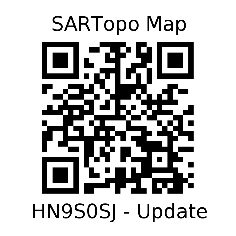
Tap anywhere to close · HN9S0SJ
2026 AVRS Master Map
Alberni Valley Rescue Squad
2026 NSAR Master Map
Nanaimo Search & Rescue
2026 Drone Master Map
Drone operations and pilot resources